|
Our first major project of the year could have been called "Miniature Town," as that is what we essentially made, but it the context of a whole country. We took macro concepts and made them micro, and took micro concepts and made them macro! There were many activities and smaller assignments/projects that were completed based on this theme, but our culminating work was a giant, 3D map of Canada. Big for 4/5 kids, but small in relation to the actual size of Canada! Students represented the geographic regions of Canada including natural resources, major cities and political boundaries, bodies of water, islands, and much more. We will return to this map several times throughout our school year to add further layers of meaning, including traditional Indigenous territories, railways, settlements, and more.
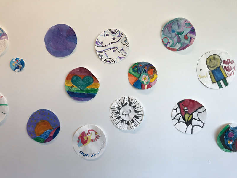
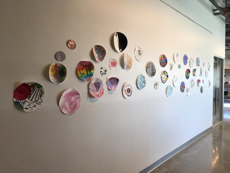
While I don't have a photo of our magnificent map (teacher fail!), I do have some photos of another mini-project the students worked on during this learning contract. After visiting the Glenbow Museum to see the exhibit of Alex Janvier's work, students made their own circular art with colour, pattern, and symbols.
0 Comments
Leave a Reply. |
Archives
February 2020
Categories |


 RSS Feed
